US-China undersea rivalry fuses submarine warfare with race for seabed minerals
Ahead of a Trump-Xi summit in Beijing, the two powers are racing to map the ocean floor, deploy drone submarines, and secure access to deep-sea critical minerals in a contest that merges military strategy with resource extraction.
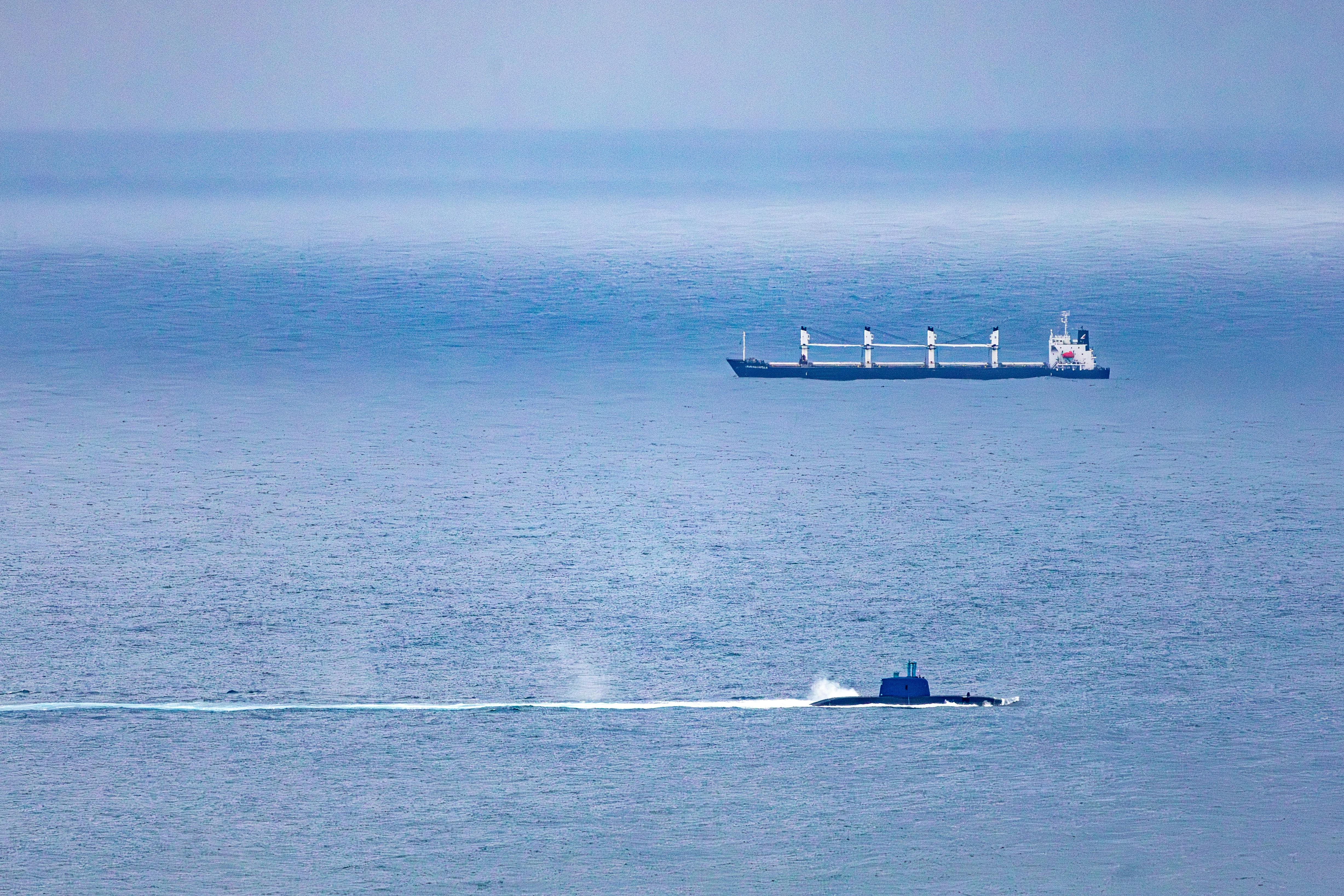
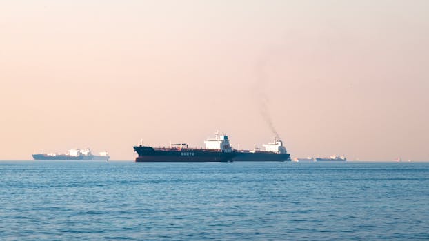
The next front in the US-China great power contest is not in space or cyberspace but on the seabed. A Reuters investigation published in March found that China has deployed at least 42 research vessels across the Pacific, Indian and Arctic oceans over the past five years, mapping the ocean floor at a scale that former US submarine commanders and naval analysts describe as preparation for expeditionary undersea warfare.
The mapping campaign, combined with Beijing’s release of a deep-sea mineral atlas in April and the launch of an 86,000-short-ton floating research platform from Shanghai, has intensified concern in Washington that China is pursuing a fused military-and-commercial undersea strategy under its “civil-military fusion” doctrine. Rear Admiral Mike Brookes, commander of the US Office of Naval Intelligence, told a US-China Economic and Security Review Commission hearing on 2 March that China had “dramatically expanded its surveying efforts” and that the data gathered “enables submarine navigation, concealment, and positioning of seabed sensors or weapons.”
“China’s undersea ambitions are well resourced and strategically aligned, posing military, economic and technological challenges to US interests,” Brookes told the commission.
President Donald Trump is due to meet Chinese President Xi Jinping in Beijing next week, with the Iran war disrupting global energy supplies and straining an already brittle bilateral relationship. The undersea domain, largely ungoverned by treaty and almost entirely unmapped, is emerging as the arena where military competition and resource competition intersect most directly.
China’s ocean mapping campaign
The Reuters investigation, which used ship-tracking data from New Zealand company Starboard Maritime Intelligence, examined more than five years of movement by 42 Chinese-flagged research vessels. At least eight of those vessels have conducted seabed mapping. Another 10 have carried mapping equipment. The vessels include the Dong Fang Hong 3, operated by Ocean University of China, which spent 2024 and 2025 sailing near Taiwan, Guam, and through strategic stretches of the Indian Ocean. In October 2024 it checked on Chinese ocean sensors capable of identifying undersea objects near Japan. In March 2025 it criss-crossed waters between Sri Lanka and Indonesia, covering approaches to the Malacca Strait, the chokepoint through which most of China’s oil imports pass.
The survey areas identified by Reuters include waters around the Philippines, Guam, Hawaii, Wake Atoll, Christmas Island, and large portions of the Indian Ocean. Chinese vessels have also operated west and north of Alaska, consistent with Beijing’s declared ambition to become a “polar great power” by the 2030s.
Peter Scott, a former chief of Australia’s submarine force, told Reuters the mapping data “would be potentially invaluable in preparation of the battlespace.” Jennifer Parker, a former Australian anti-submarine warfare officer now at the University of Western Australia, said the scale pointed to a military objective. “It is very clear that they intend to have an expeditionary blue-water naval capability,” she said.
The military undersea build-up
At the core of China’s undersea push is the “transparent ocean” concept, a programme proposed around 2014 by oceanographer Wu Lixin of Ocean University of China. The Shandong provincial government contributed at least $85m in funding. The aim is a layered network of acoustic arrays, seafloor observatories, and long-endurance underwater gliders feeding real-time data on water conditions and subsea movements into Chinese naval planning. A 2025 milestone ocean model achieved 1km resolution for global simulations, a capability the US Naval Institute has described as a potential threat to the stealth advantage American submarines have relied on for decades.
Ocean University researcher Zhou Chun, who oversees sensor arrays in the Indian and Pacific oceans, said his work showed him “the rapid development of my country’s maritime defense and military capabilities” and pledged to “transform the most advanced scientific and technological achievements into new types of combat capabilities.”
Ryan Martinson, an associate professor at the US Naval War College who specialises in Chinese maritime strategy, told Reuters the scale was “frankly astonishing” and said Chinese efforts “threaten to erode” the US Navy’s undersea advantage.
The campaign operates within Beijing’s “civil-military fusion” framework, under which Xi Jinping has directed that civilian scientific research serve military technology development. The Ocean University of China president publicly celebrated the institution’s “close ties” to China’s navy in 2021.
The resource dimension
In April 2026, a Chinese state research agency published a deep-sea mineral atlas cataloguing known deposits of polymetallic nodules, cobalt-rich crusts, and rare-earth elements across the Pacific. The atlas was treated in Washington and allied capitals as a statement of intent: the seabed holds the cobalt, nickel, manganese, and rare-earth elements essential for electric vehicle batteries, wind turbines, and defence electronics, and China intends to be first to commercial extraction.
That ambition is backed by hardware. In late March, Shanghai Jiao Tong University launched the Open-Sea Floating Island, an ultra-large semi-submersible research platform displacing 86,000 short tons with a moon pool permitting operations to depths of 10,000 metres. The platform can carry 238 personnel with roughly four months of endurance and is designed to test deep-sea mining systems. Portions of the structure incorporate blast-resistant “metamaterial” sandwich panels that reference a Chinese military standard for nuclear shock protection, according to the South China Morning Post, which cited a peer-reviewed paper in the Chinese Journal of Ship Research.
Japan is pursuing its own deep-sea mineral programme. In February, Japanese researchers extracted rare-earth elements from seabed mud in a technical first, the East Asia Forum reported, adding a third competitor to the undersea domain.
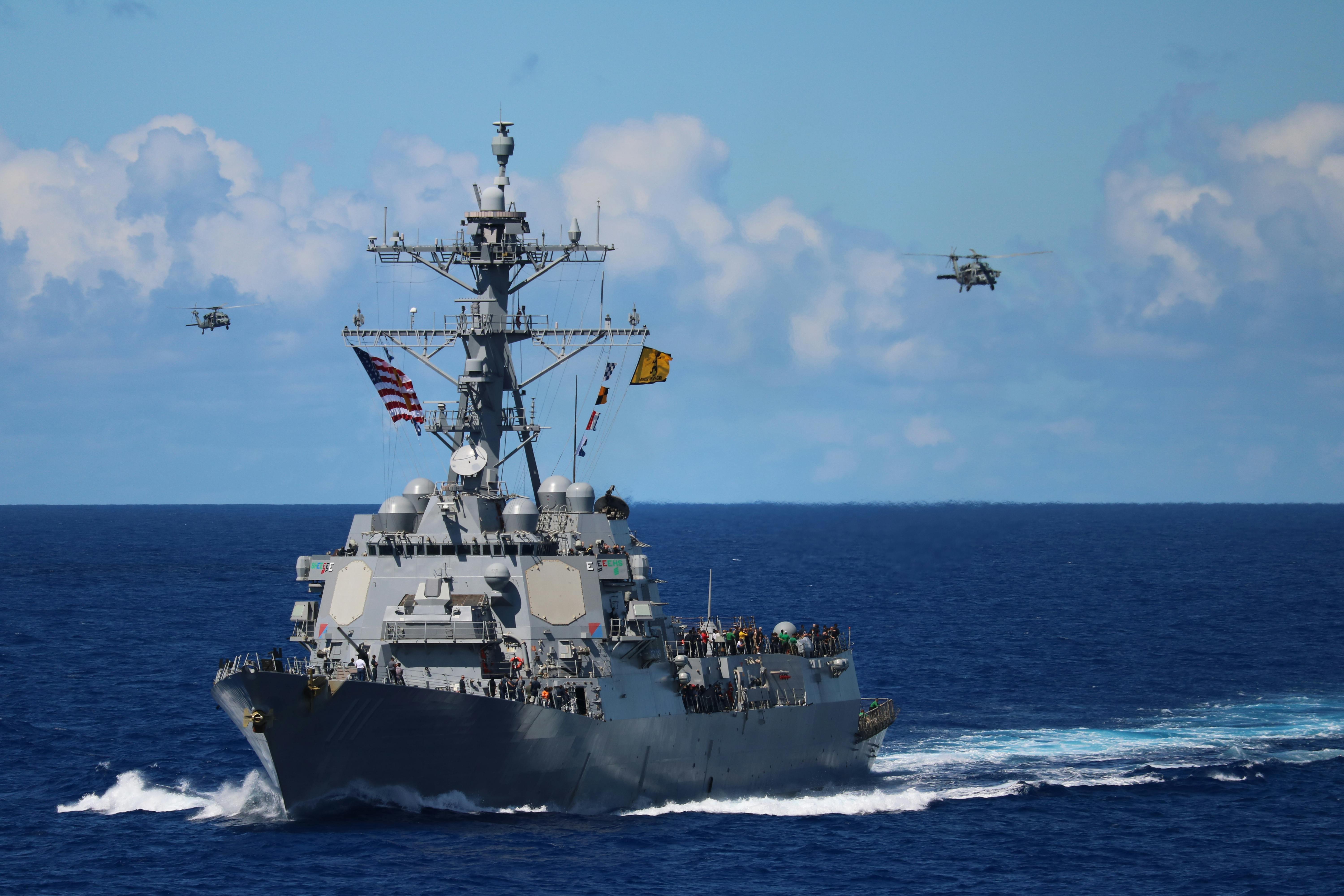
The US and allied response
Washington and its allies are moving more slowly and at smaller scale. On 1 May, the US Navy took delivery of its first Speartooth large unmanned underwater vehicle from Australian firm C2 Robotics. The 11-metre drone has a range of 2,000km, can operate at depths of 2,000 metres, and handles missions including seabed warfare, mine countermeasures, and covert logistics. The US Navy has ordered three units. The Speartooth was the only available system meeting requirements for “long-range stealthy kinetic payload delivery within the required size and modularity constraints,” Army Recognition reported.
Separately, Huntington Ingalls Industries secured a $37m contract to keep the Lionfish underwater drone in production. The Navy plans to retire three ageing nuclear-powered attack submarines in fiscal 2026 as it shifts the fleet towards smaller, more numerous autonomous platforms.
The Pentagon’s flagship large drone programme, the Orca extra-large unmanned underwater vehicle, has been delayed more than three years at $242m in additional costs, a cost growth above 64 per cent. The Speartooth acquisition is partly a hedge against Orca’s problems and part of a broader shift towards attritable, distributed systems under the “Small, Smart, Many” concept.
What the summit may signal
Neither government has indicated that undersea competition will be a discrete agenda item when Trump and Xi meet in Beijing. But the convergence of military seabed mapping, drone submarine deployments, and the minerals race means the domain is likely to arise. The Taiwan parliament’s passage of a $24.8bn special defence budget on 8 May, framed as a deterrent against China, sharpens the stakes.
Peter Leavy, president of the Australian Naval Institute, told Reuters that China’s mapping campaign “indicates a desire to understand the maritime domain so they can break out” of the First Island Chain. Tom Shugart, a former US submarine commander now at the Center for a New American Security, described the effort as “symptomatic of China’s rise as a premier maritime power.”
Collin Koh, a senior fellow at the RSIS Institute of Defence and Strategic Studies in Singapore, said Beijing’s oceanographic push “is a manifestation of China’s far-seas reach” and that Chinese planners “now have a reasonably good picture of the maritime domain they hope to operate in.”
Roughly 80 per cent of the ocean floor remains unsurveyed. The race to fill in that map has become a military and industrial contest that neither Washington nor Beijing can afford to lose.
Kai Mendel
Technology editor covering fintech, AI and the platform economy. Reports from San Francisco.